
Glencarlyn Park
April 29, 2019, update July 14, 2020Neighborhood Center
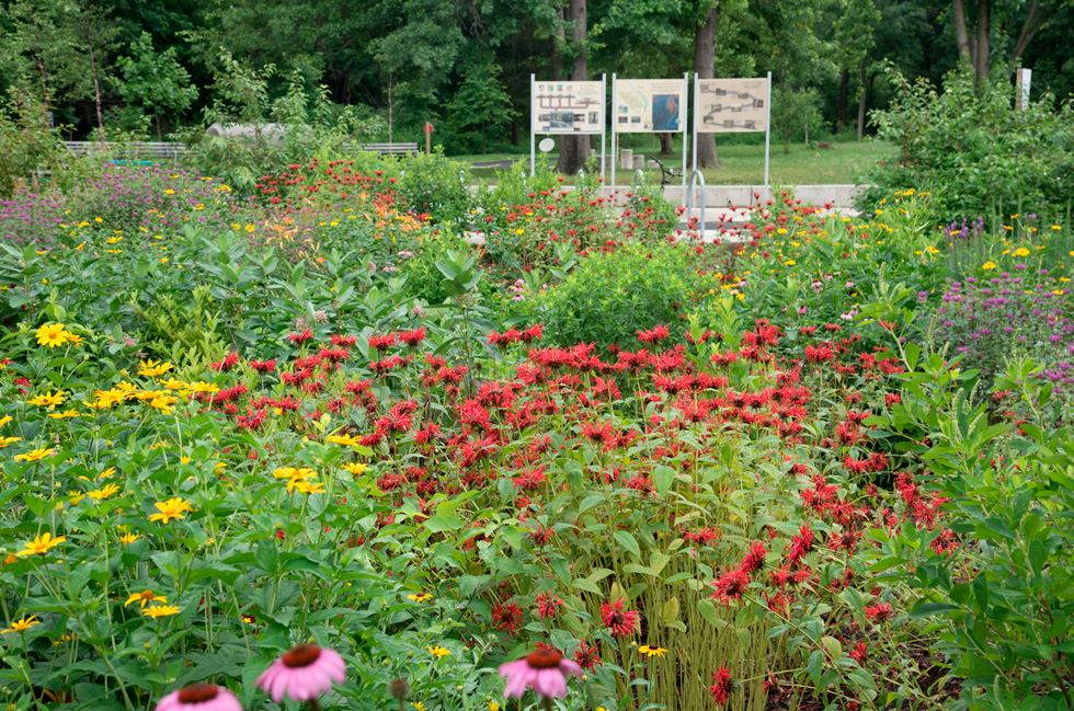
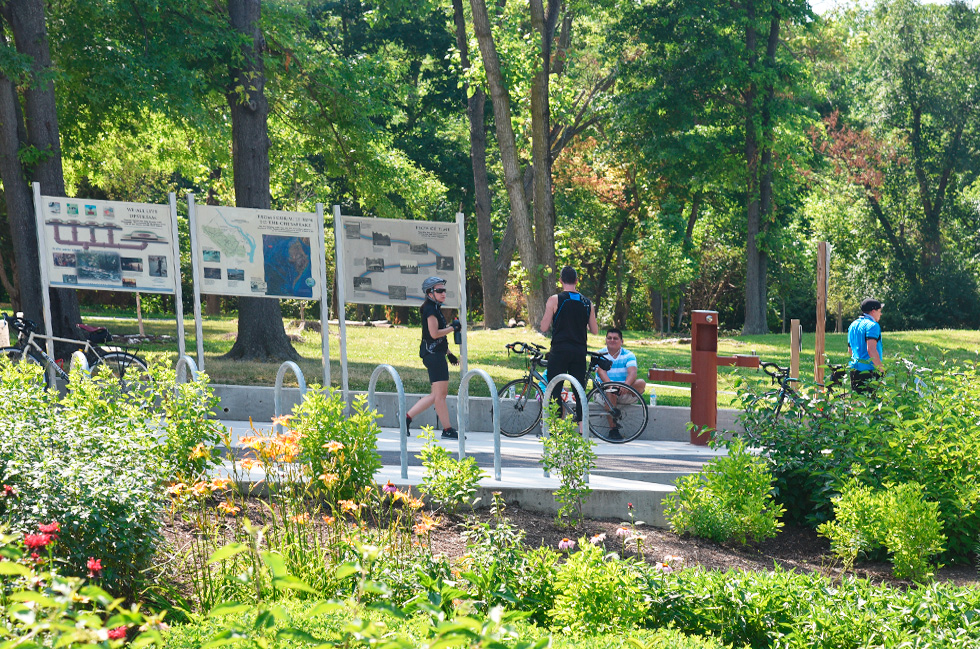
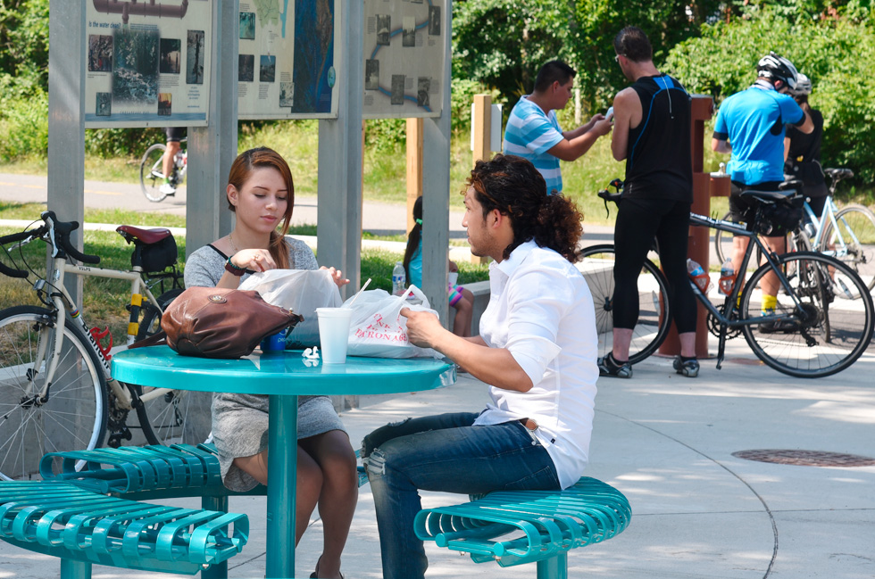
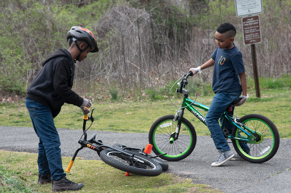
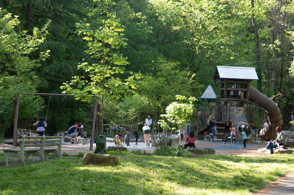
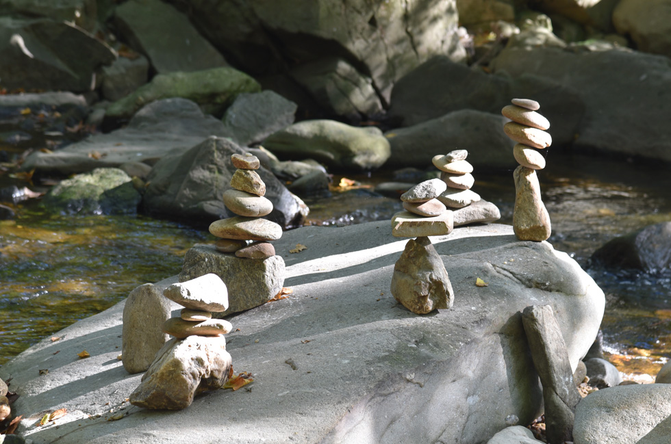
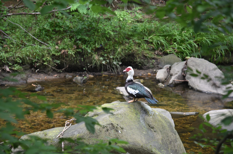
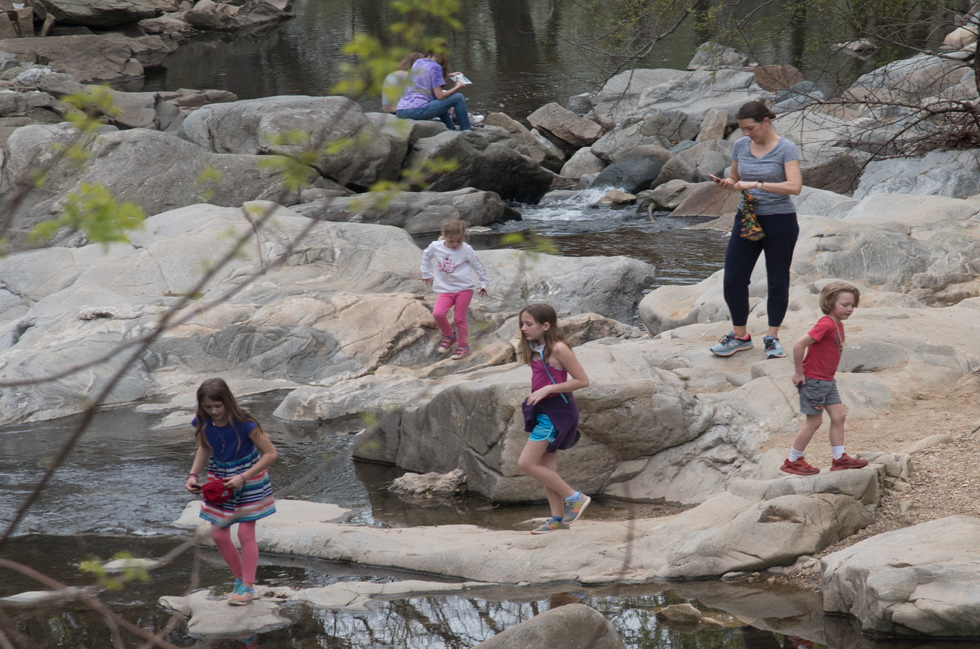
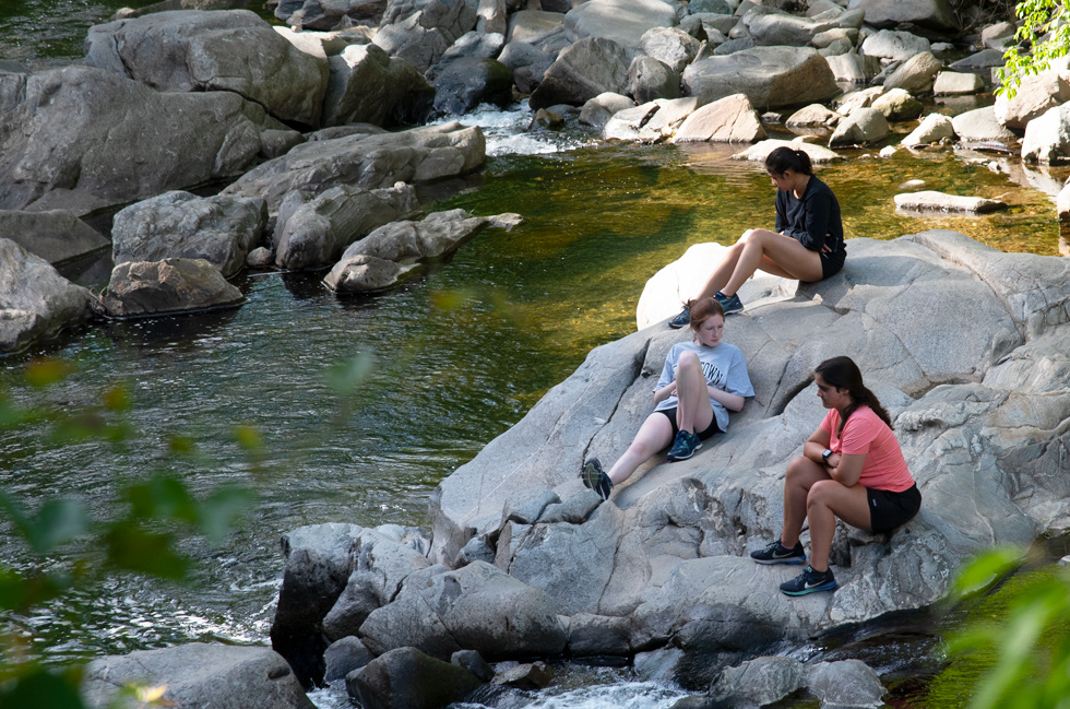
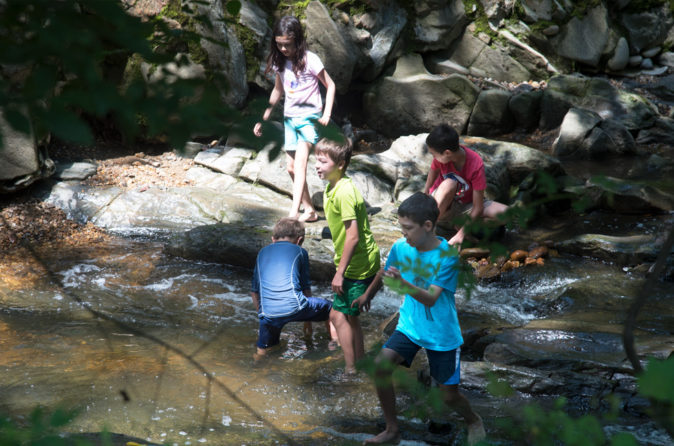
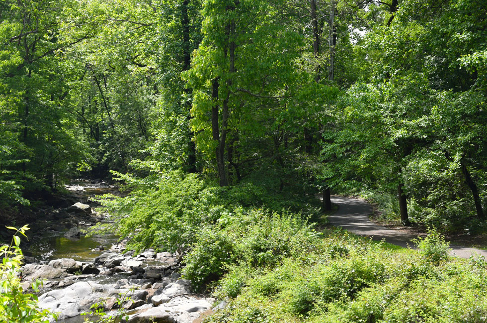
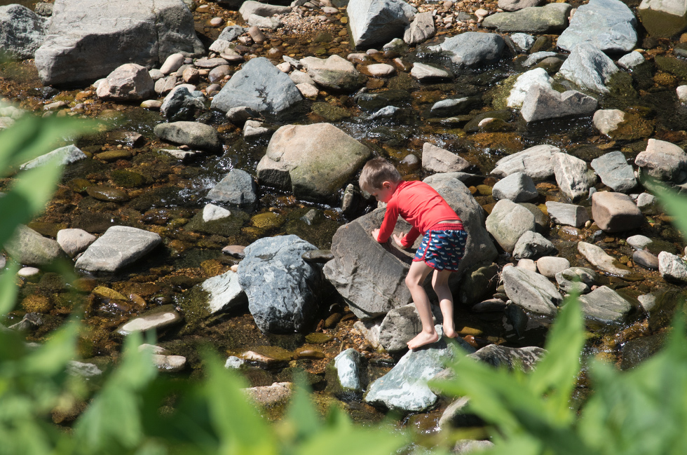
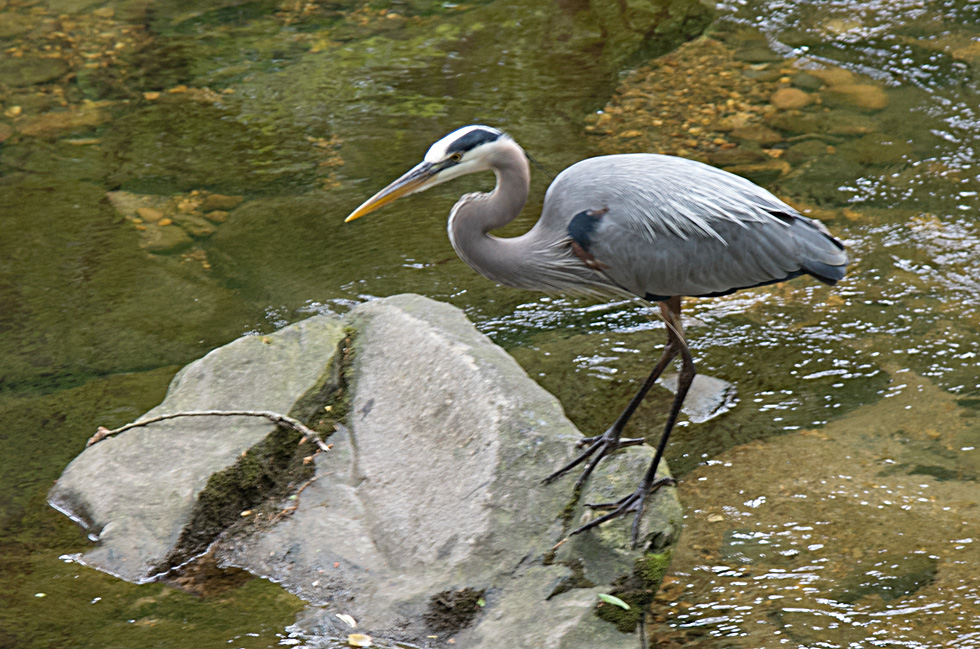
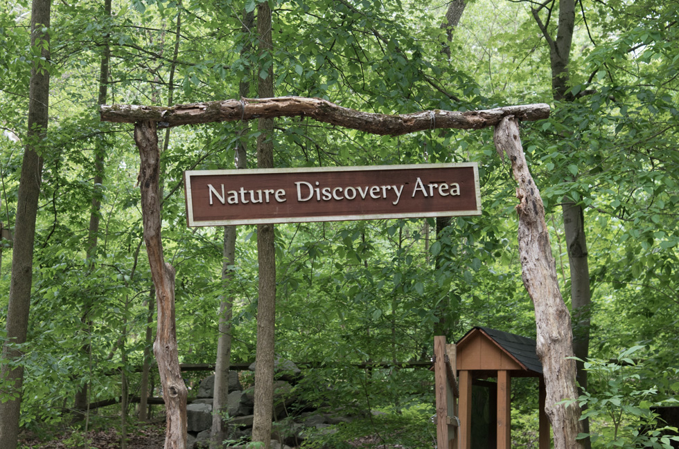
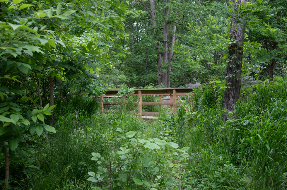
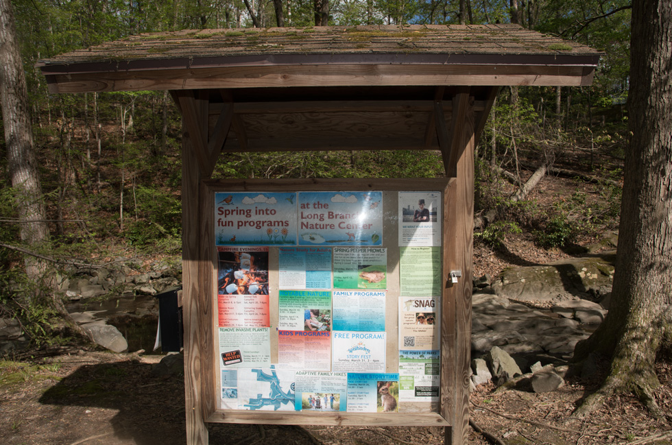
Glencarlyn Park is 95.5 acres and begins at 4955 Columbia Pike and expands to the north till it reaches Arlington Blvd (rt 50). At the beginning of the park Four Mile Run is on the west side and wanders back and forth throughout the park, the Washington and Old Dominion Trail runs along the east side. The park opens with a beautiful flowering rain garden, picnic tables, benches, a children's sand box, bottle filler, a bike rack and learning loop for beginning cyclists and a bike repair station. The park has lots of areas for family activities including two large picnic shelters and smaller picnic shelters scattered throughout the park, nature trails, a playground, Long Branch Nature Center, a dog park, community gardens and Sparrow Pond. There is a lot of wild life in the park and recently we are seeing more and more deer. Although I walk in the park nearly every day most days I do not take my camera and off course that is alway when I see the deer and other animals.
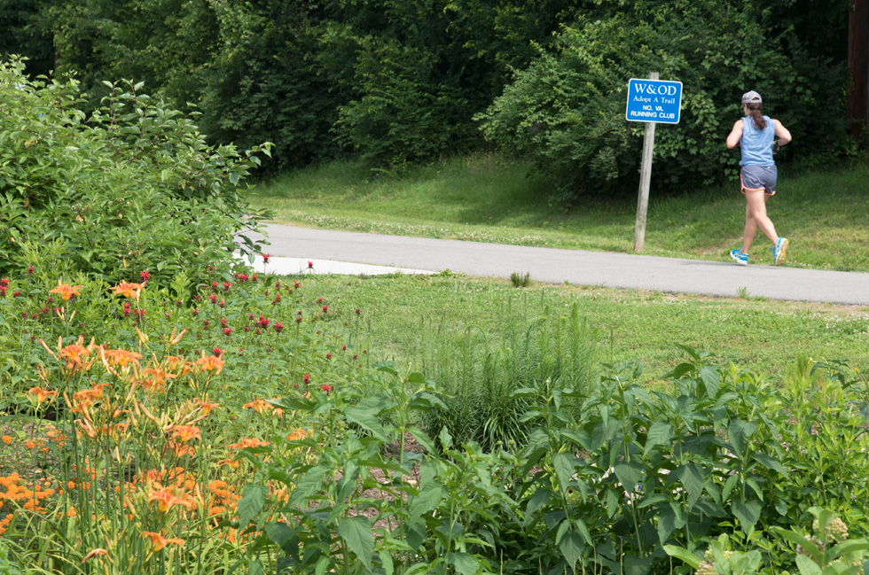
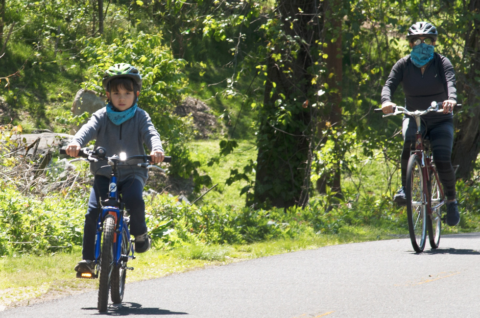
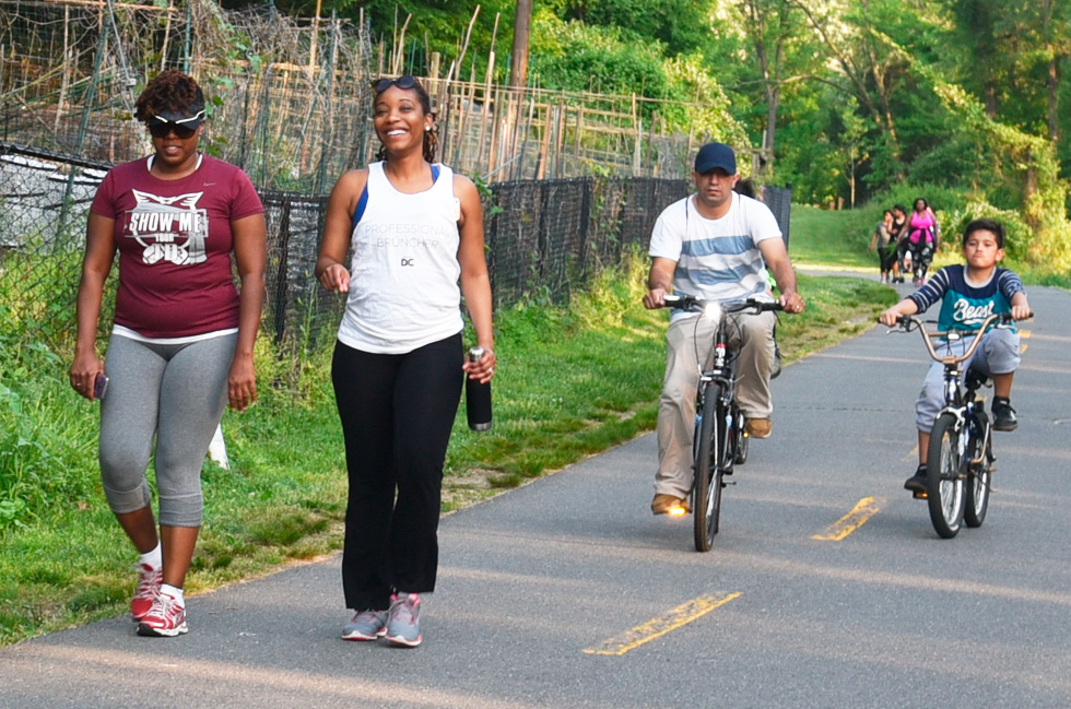
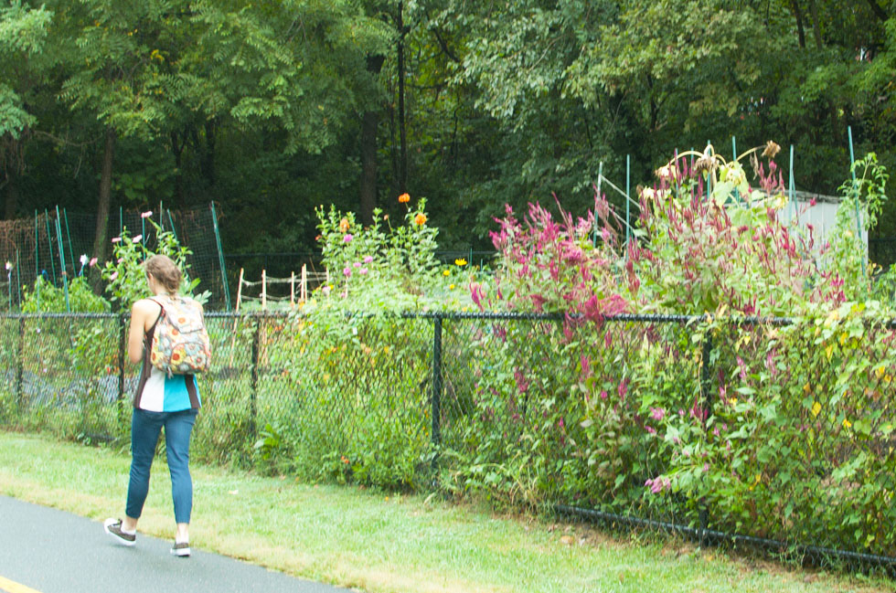
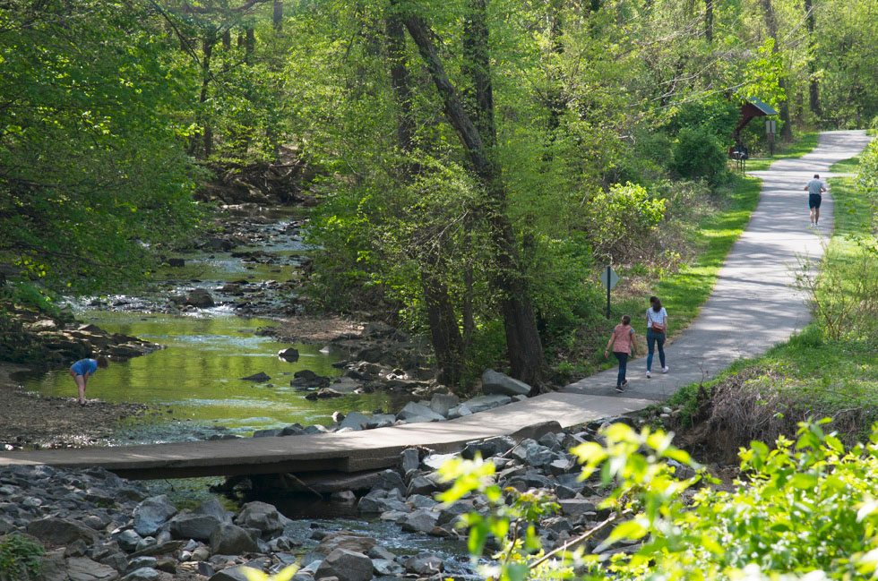
Washington and Old Dominion Trail
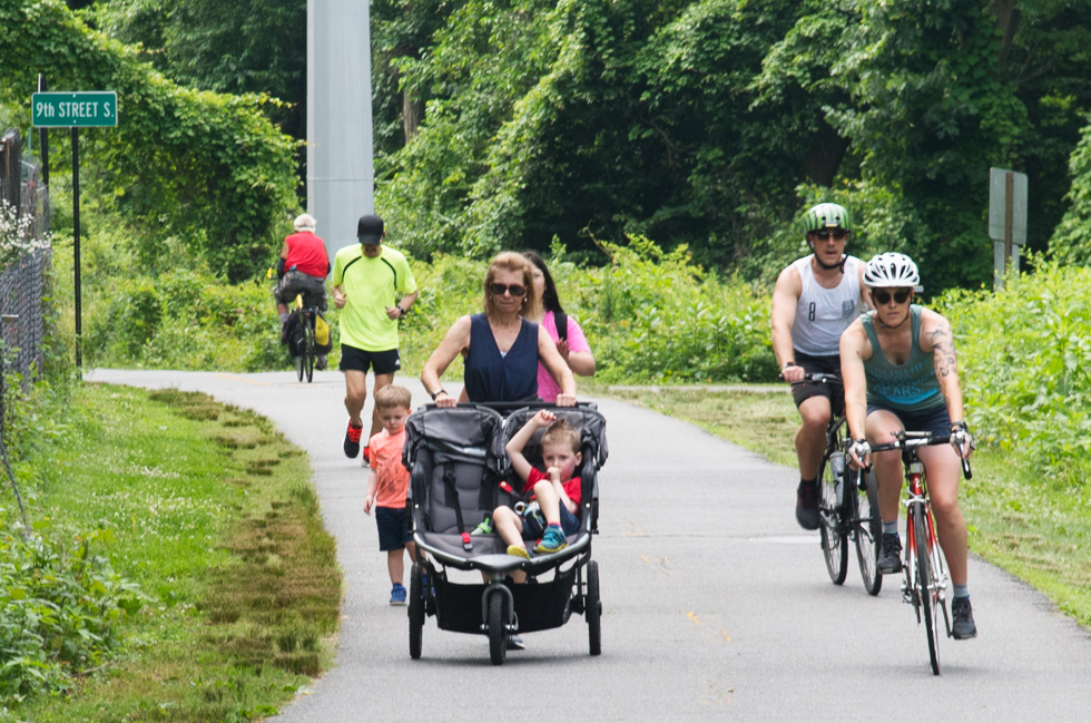
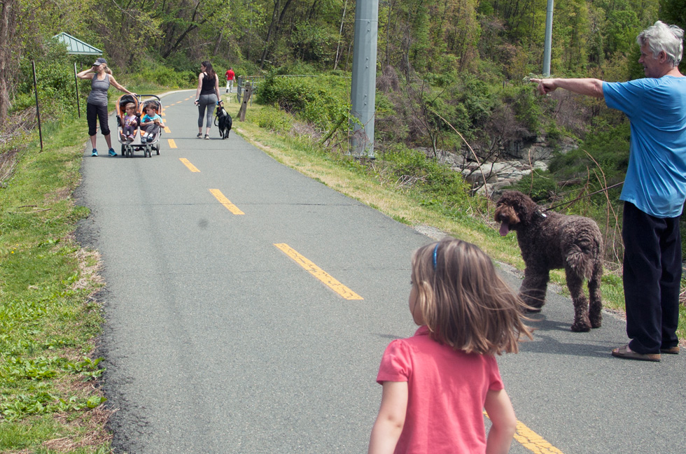
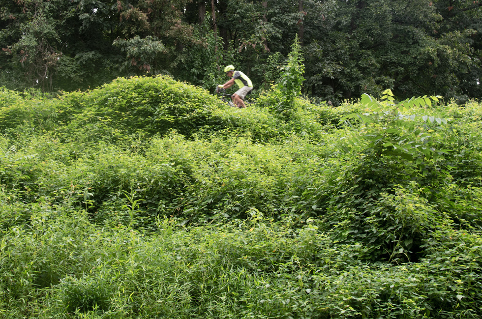
The Washington & Old Dominion Trail runs from Purcellville in Loudoun and ends near Shirlington, Arlington. It is 45 miles long and has a painted yellow center line. Although it is very narrow it is actually a park, the Washington & Old Dominion Railroad Regional Park which is run by Nova Parks It runs paralle to Four Mile Run and Trail in the area around the Pike. Most of the trail was built on the roadbed of the former Washington & Old Dominion Railroad. The trail enters the east side of Glencarlyn Park at Columbia Pike. Near to the Pike are two other entrances, both in Barcroft, one from South 9th Street the other from South 7th Street.

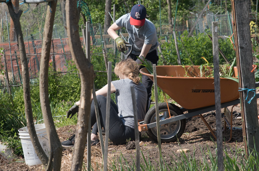
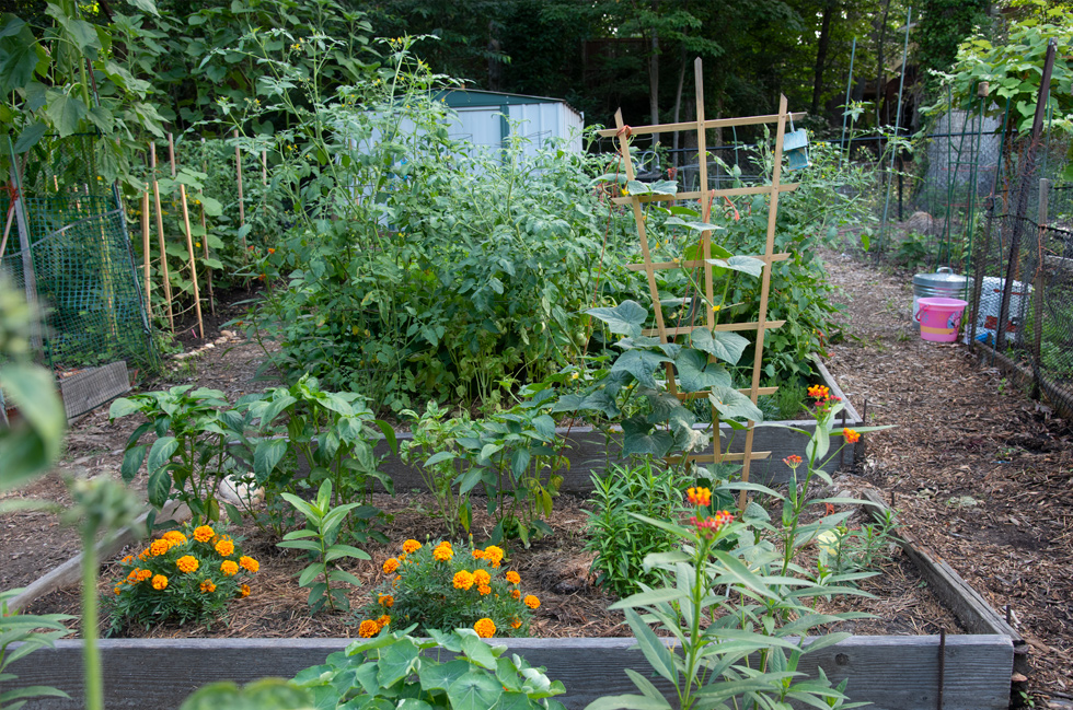
Community Gardens
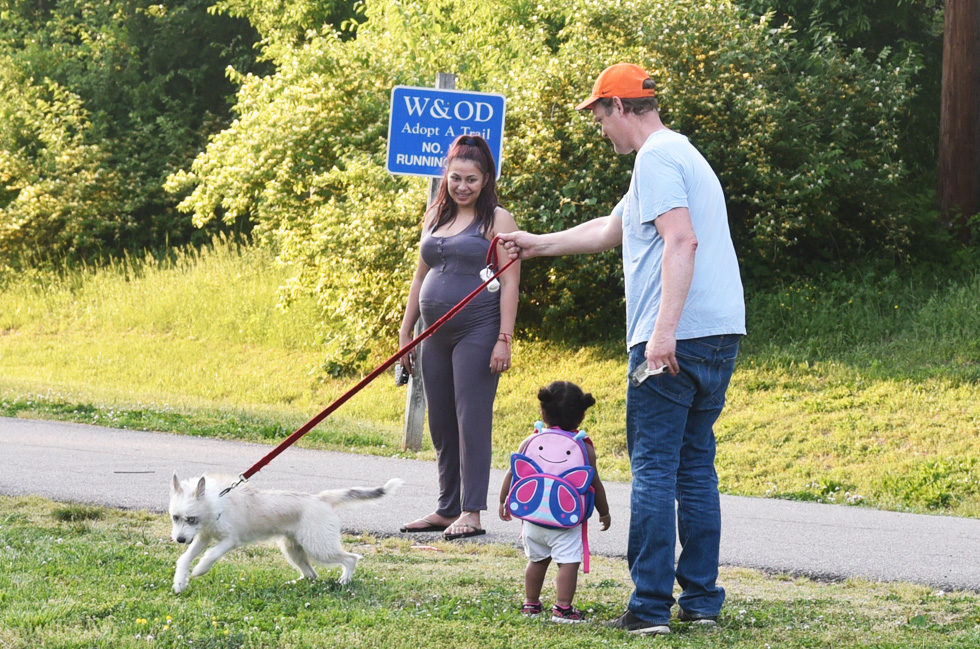
About a block from Columbia Pike is the South 9th Street entrance into the trail which opens near the Community Gardens. The gardens are available to gardeners within the community, county page. Arlington County intends to make improvements to South 9th Street and the entrance into the Park (plan). Right here is also a path that leads from W&OD Trail to Four Mile Run.
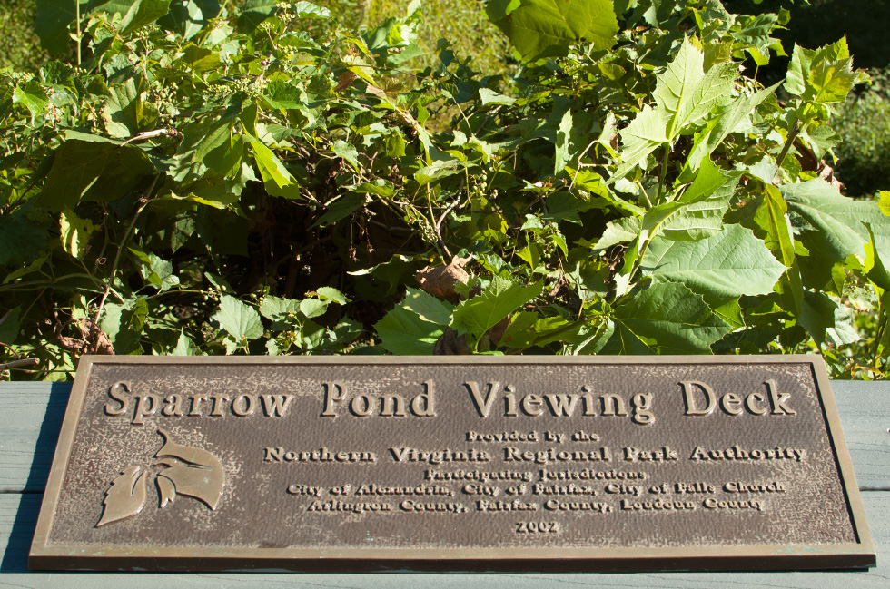
Sparrow Pond
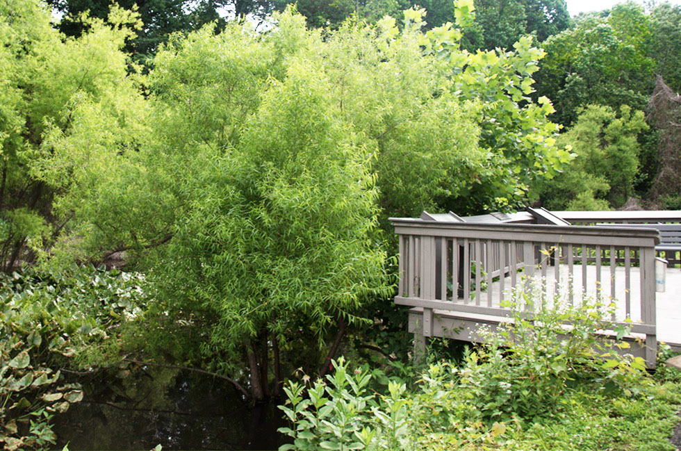
A little further along is Sparrow Pond which was formerly Sparrow Swamp. Is on the east side of W&OD Trail. It is a Wetland that Arlington County constructed in 2002 and maintains as a stormwater retention pond. There used to be beavers in this area but the county the beavers. The U-shaped pond is actually three-chambered.
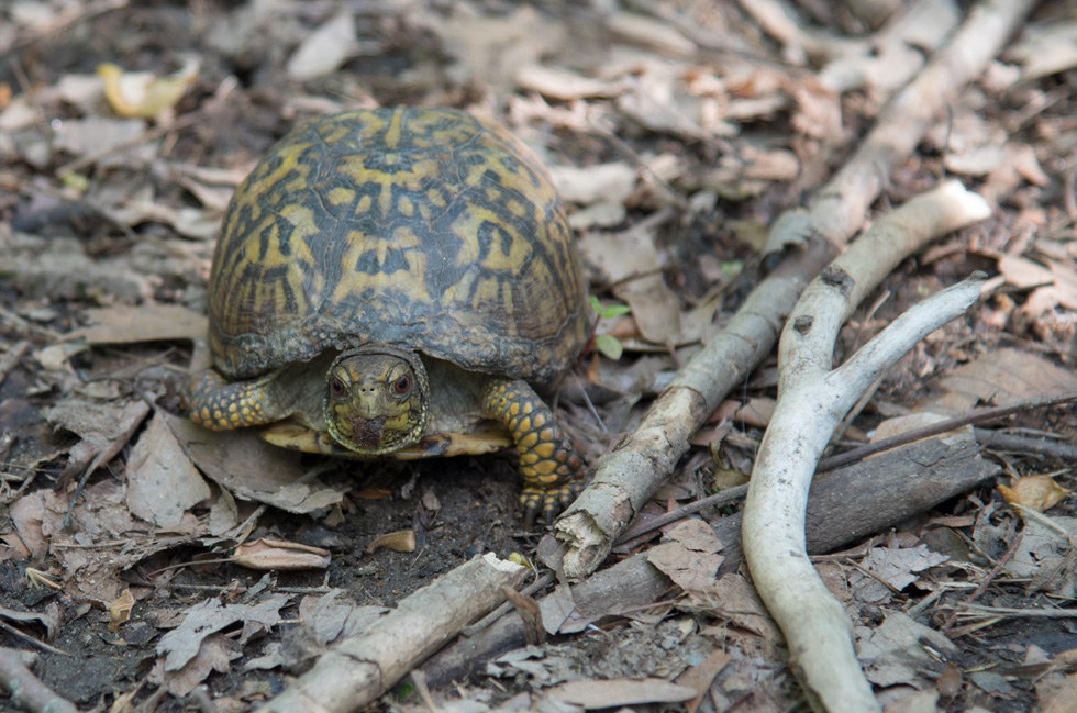
The first chamber closest to the woods is where the small tributary feeds it, is a silt trap which slows the water and large sediment drops out. The bottom of the U traps other sediments still in the water and the wet land. The pond is full of water plants, turtles, frogs, fish lots of birds and other wild life. It runs parallel to the trail and can be seen from an observation deck.At the moment (March 2019) reconstruction for the pond is in progress. Fall 2019 - 2020 Finalized design and pre-construction. Construction 2020 -2021. Information.

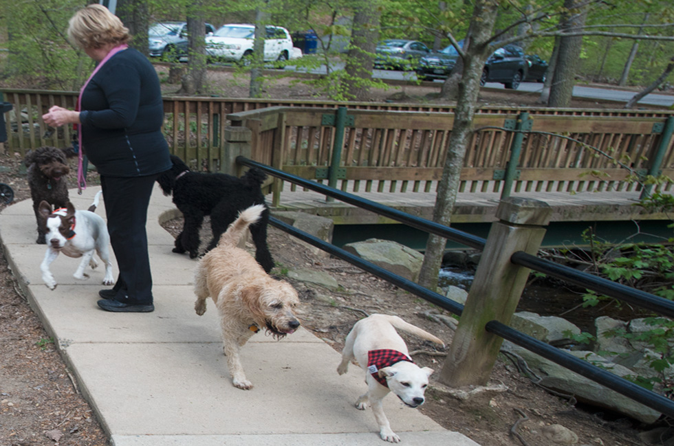
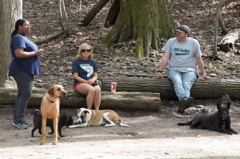
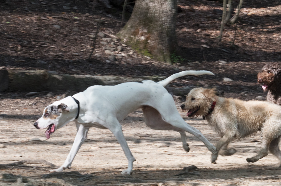
Dog Park
Continue on the Trail (not far) then take a left and go down the steeper of the two hills, cross Four Mile Trail and then across the bridge, this will take you to the Dog Park, which is right next to Four Mile Run. Dogs are allow off leash in this area.
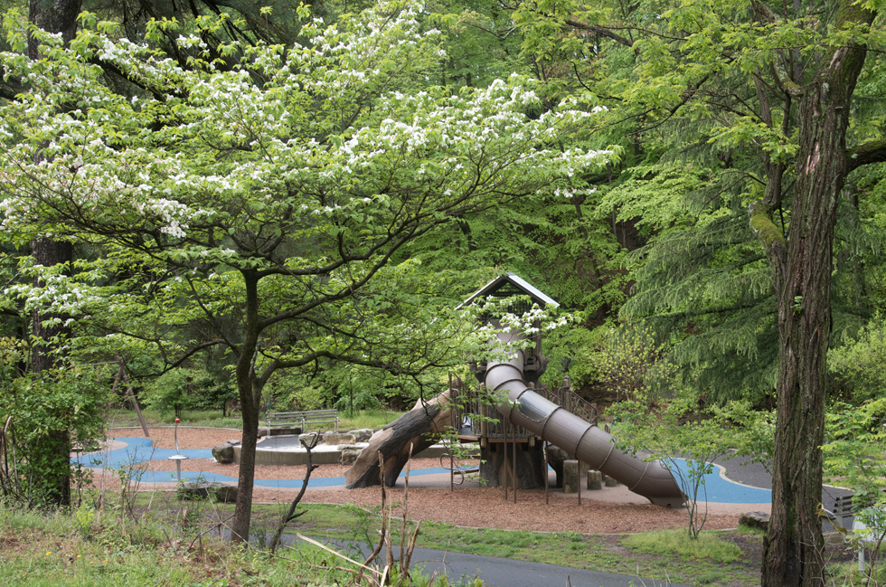
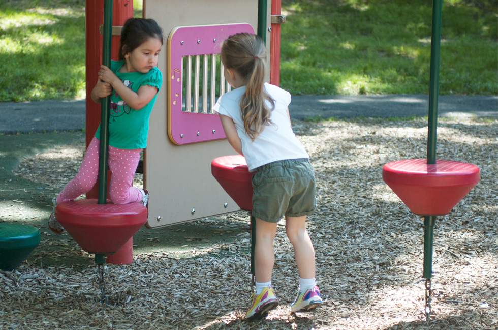
Playground
The children's playground is close to the dog park. Its right next to Four Mile Run which curves around it.
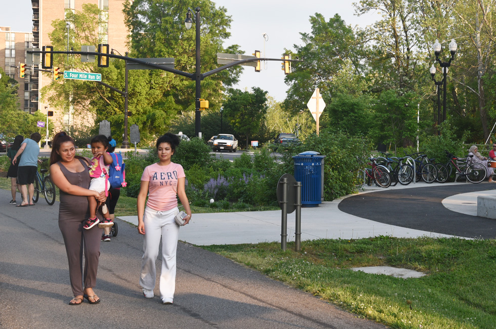
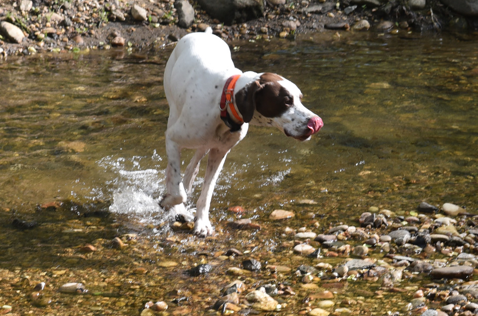
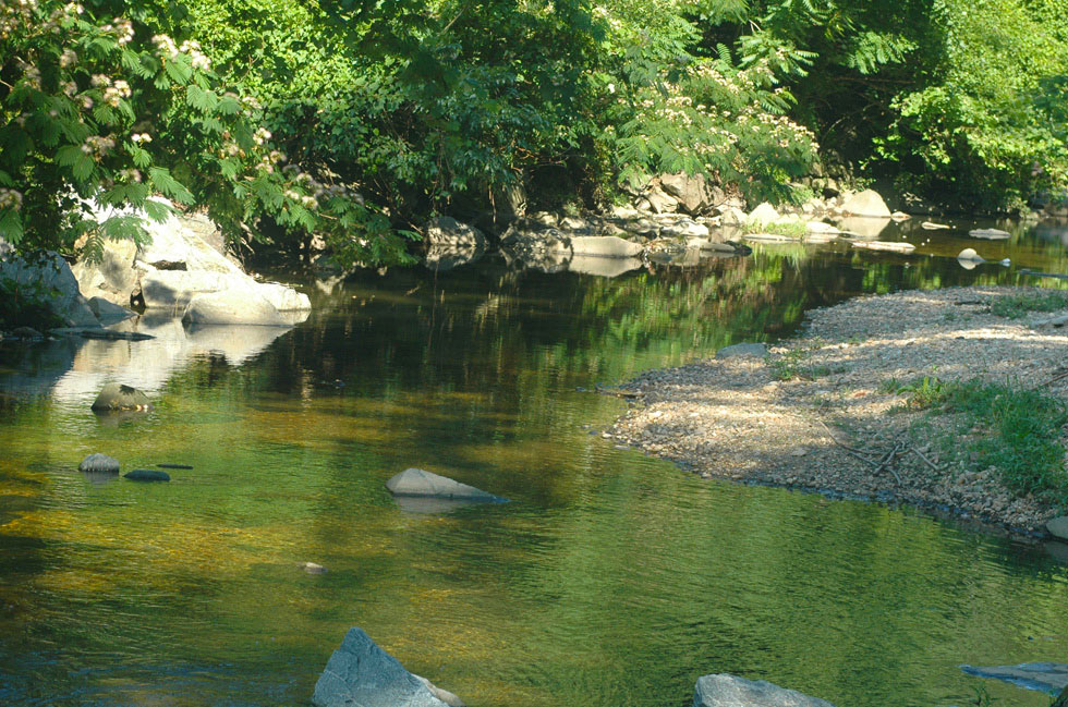
Four Mile Run & Trail
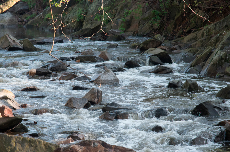
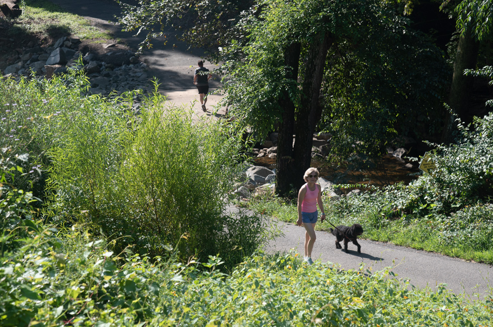
Four Mile Run starts at Gordon Avenue in Fairfax County and empties into the Potomac River immediately south of Reagan, Washington National Airport. Unlike its name it is 9.4 miles long. There is a bridge over the run on Columbia Pike as it enters (actually it is flowing in the opposite direction) Glencarlyn Park. It is the largest stream flowing through Arlington, draining approximately two-thirds of the County. In most areas within Glencarlyn Park the Four Mile Run Trail runs parallel to the run. Right after the playground it curves around and runs under a bridge on the W&OD trail. You can enter Four Mile Run from a number of places off the Washington and Old Dominion Trail and also from Arlington Mill Road which is right behind Arlington Mill Community Center. The Four Mile Run Trail is a paved trail that runs near (most times) next to Four Mile Run, sometimes crossing from one side to the other. It ends at the Mount Vernon Trail near the Airport. At the Pike the trail goes under the bridge where it continues to run parellel to the Run. The main trail is paved but there are many small foot paths running from it into the surrounding wooded areas.
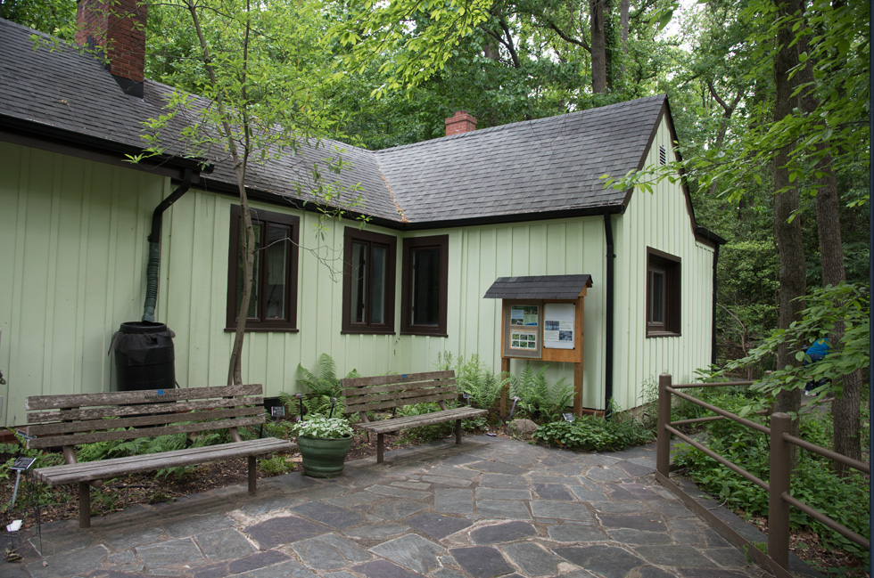
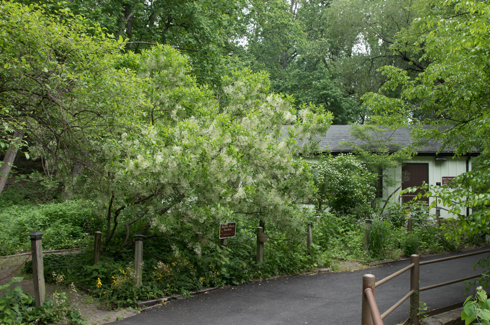
Long Branch Nature Center
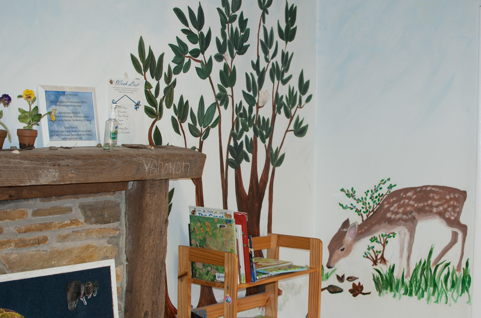
The Long Branch Nature Center is a short walk from the Dog Park, just follow Four Mile Run. The nature center has all kinds of activites along with environmental education programs. There is a pond in front with lots of turtles, gold fish and frogs. Inside there are snakes.The spy Robert Hanssen is associated with the Nature Center (read the about him and the money hidden at the center in Arlington Magazine). There used to be an amphitheater here and Hanssen's money was found under the stage.
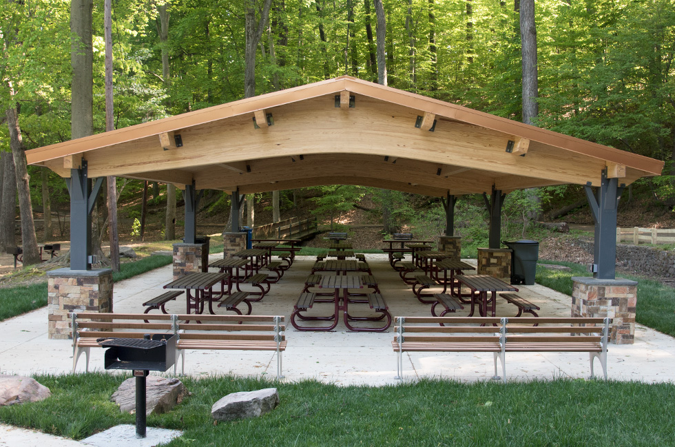
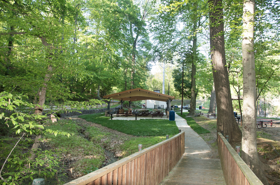
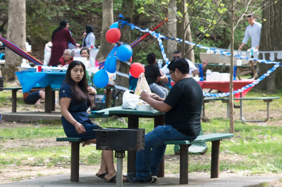
Picnic Areas
There are a number of picnic areas some of them have barbecue grills. Two of them have large shelters one of which is shown below. This area which is near to the bridge on W&OD and over Four Mile run has just been reconstructed with all new tables, benches and grills. There are also small shelters within the park.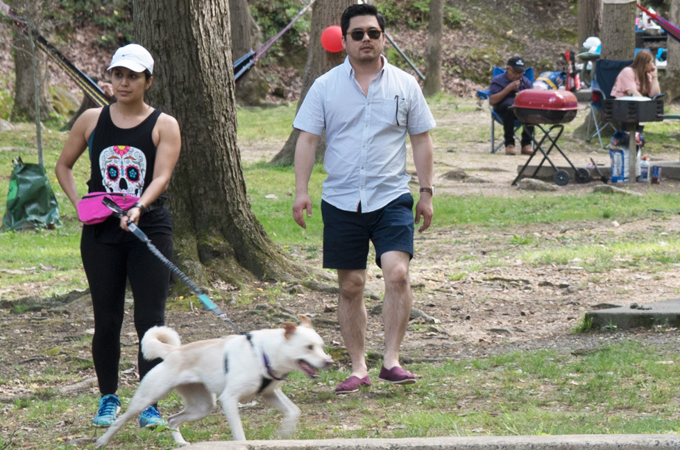
History
Native Americans
The Necostin, Native Americans were living in this area of Virginia when John Smith arrived in 1608. By 1690 Native American settlements had been decimated by disease and armed raids, and cease to exist in what is now Arlington County.Washington & Old Dominion Railroad
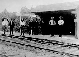
A bus service began in 1919, and gradually the rail service was discontinued, with passenger service ending in 1932 and freight service ending in 1968.
The property has changed hands a few times since then. The Virginia Department of Highways purchased the railroad's property not long after the railroad closed. Which in turn was bought by the Virginia Electric and Power Company as the company's power lines were travelling within the right-of-way.
Later The Northern Virginia Reginial Park Authority purchased a lease agreement and additional segments of the right-of-way between 1978 and 1982. The power company retained an easement. wikipedia
Washington & Old Dominion Railroad Regional Park is now run by the Nova Parks.
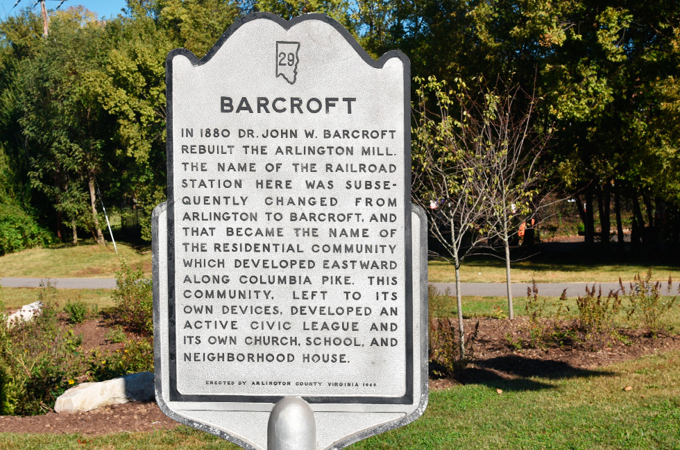
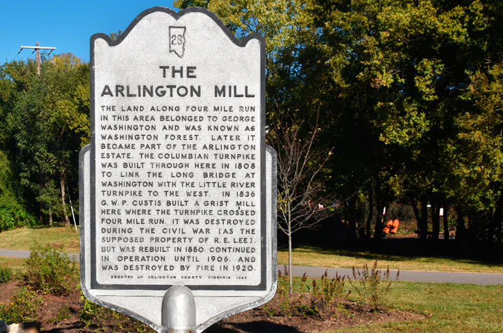
Arlington Mill
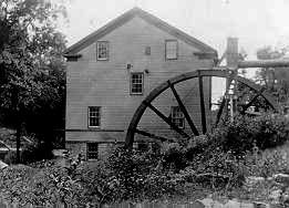
During the colonial period and the 19th century, several watermills existed in and near the fall line of the stream. Although none of these mills remain intact, the foundation of one is still in place (Arlington Mill constructed in 1836; later rebuilt as Barcroft Mill in 1880 after being destroyed by Union Army troops during the Civil War). The mill provided locals with flour ground from corn and wheat that was grown locally and shipped up the stream on flatboats. Located west of the stream between Columbia Pike and 10th Street South in Arlington, the foundation is next to an automobile repair shop.
G.W.P Custis built his mill at Four Mile Run in 1836 on part of the
1200 acres he inherited from the first President and he encouraged his
neighboring farmers in production that would make them and their country
less dependent upon imported goods. His travels to Arlington Mill would
take him along the local turnpike to the area that is now Barcroft.
civfed.org
Four Mile Run and Trail
General George Washington owed the southwest side of the stream (Four Mile Run) which was a large parcel of wooded property which he surveyed in 1785, several years after the Revolutionary War ended. This land became known as Washington's Forest. ...Columbia Turnpike was built through here in 1808 to link the Long Bridge at Washington with Little River Turnpike.
Arlington Historical Society.
The Bridge
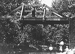
The original bridge crossing the Pike at Four Mile Run was located a few feet south of the position of the bridge that is there today. All that is left of the original bridge is the base of one of the abutments which is near the auto repair shop.
The Turnpike
The Columbia Turnpike beginnings date to 1808 when Congress chartered the Columbia Turnpike Company to build a road through the newly-formed Alexandria County of the District of Columbia. Arlington County Civic Federation Alexandria County later became Arlington County.Comments
image and comments added 5/1/2019...after looking through it a second time, I realized that I was surprised you don't have anything about the marker for the George Washington survey tree. That's just adjacent to the dog park. ... from the wikipedia entry for Four Mile Run:

General George Washington owned on the southwest side of the stream in the fall line a large parcel of wooded property which he surveyed in 1785, several years after the Revolutionary War ended. As part of this survey, Washington made a cut in the trunk of an oak tree to mark a corner of his property where a tributary (Long Branch (upper) entered the main stream. A portion of this trunk remains preserved in a neighborhood library (Glencarlyn Library), while a columnar monument marks the tree's original location.
My reply: I had not realized that this was a monument but I went and took a photo this morning it was the first time I had noticed the inscription on the back. The inscription is so weathered that it is difficult to read.
Thanks for the information.